

Partner and Design with District Survey
At District Survey, we know that all planning, design, and construction projects require detailed and precise land surveying data to ensure a thorough understanding of the job site. Our team delivers the accurate data that engineers and architects need to design with confidence. Let us help streamline your workflow, reduce field conflicts, and bring your vision to life with reliability and precision.
Meet the
Surveyor
Ismael Vázquez, PLS
Washington, D.C. Registered Surveyor
Professional Land Surveyor in Washington, D.C., Virginia and Puerto Rico
Mr. Vázquez holds a Bachelor’s degree in Land Surveying and brings over twelve years of experience in the surveying industry. He has served as a Survey Party Chief at a private engineering and surveying firm, where he managed field operations and data collection.
He also worked as a Chief Field Engineer on a major wastewater treatment plant
construction project at the Blue Plains Advanced Wastewater Treatment Plant,
supporting large-scale infrastructure development.
Additionally, Mr. Vázquez served as a Project Surveyor on multiple projects with the Washington Metropolitan Area Transit Authority, contributing to complex transit and infrastructure initiatives throughout the region.
With extensive experience on multi-million-dollar construction sites, Mr. Vázquez has built a strong reputation for accuracy, reliability, and leadership. He is the Founder and CEO of District Survey, where he continues to support civil engineers, architects, and developers with high-quality surveying services.
Proud Member of:



Our Services
Partner with District Survey for precise, responsive, and design-focused surveying solutions that keep your projects moving forward.

Topographic Survey
A topographic survey shows a detailed map of any natural or manmade feature, showing the size, shape, and height of a given parcel of land. The map will also show the change in elevations and contours throughout the parcel.

ALTA/NSPS Survey
Land surveying has specific requirements, and as a result, lenders, title insurance professionals, and the issuance of title insurance are guided by the approval procedures of the American Land Title Association (ALTA) and the National Society of Professional Surveyors (NSPS). District Survey will deliver a detailed land parcel plat, including existing improvements on the property, utilities, and licensed land surveyor observations regarding the property boundary and its relationship to the title.

Boundary Survey
A vital part of owning a property is knowing the boundaries of your parcel. Property owners will need a boundary survey before buying, dividing, improving, or building in the property to avoid any future disputes. Whether it is private property or commercial property, without clear boundaries disputes can arise. Once a boundary survey is complete, our licensed land surveyor will issue a plat with the property lines and the actual property corners of the parcel. It also indicates the location of easement, encroachment, and may show the limitation imposed on the property by state or local regulations.

Construction Survey
We provide a wide range of construction surveying services, which would fit your scope of work, from railroads to wastewater treatment plants, to schools, and roads, among many others.
Construction Staking
Structures Layout
Anchor Bolts As-Builts
Grid Lines
Benchmark and Transfer Elevations
Calibrated Crack Monitoring
Above-Ground and Underground Structures As-Builts
And Many Others
Yard Pipe As-Builts
Horizontal Control
Vertical Control
Cut-Sheets
Volume Calculations
Soldier Pile Monitoring

3D LiDAR Scan
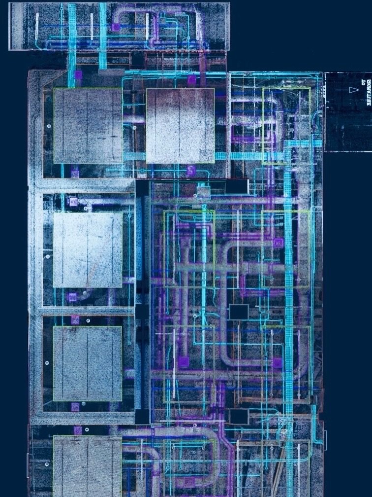
District Survey is the leading provider of 3D LiDAR scanning services using precise equipment with the most recent technology, with an accuracy of millimeters. In addition, our experienced professionals will be able to obtain quality and precise data to be used in engineering and construction projects. We can provide from scan to BIM or just the point cloud that can be used with software to view, pan, zoom, and rotate in 3D and obtain instant point-to-point measurement. The point cloud can be translated to a CAD drawing and can be rendered further into a full 3D Revit model. Let us know your scope of work, and we will make the plan that will support your project.

Monitoring Survey
A monitoring survey is a precise method in which we can detect if a structure is having any deformation or movement that may require immediate corrective work at an early phase to prevent accidents and liabilities. The movement can be caused by excavation or drilling in an adjacent job site or just natural movement. The deformation of a structure that is under loads, such as a bridge or supporting beam, can be monitored. District Survey can create a monitoring plan and will provide accurate, precise, and reliable data to give our clients peace of mind. Whether you need to monitor soldier piles, structural movements, cracks, and deformations we have a solution for you.

Other Services
Our wide range of land surveying solutions can be customized to fit your individual needs. Contact us to find out how we can support you.
Instagram Feed


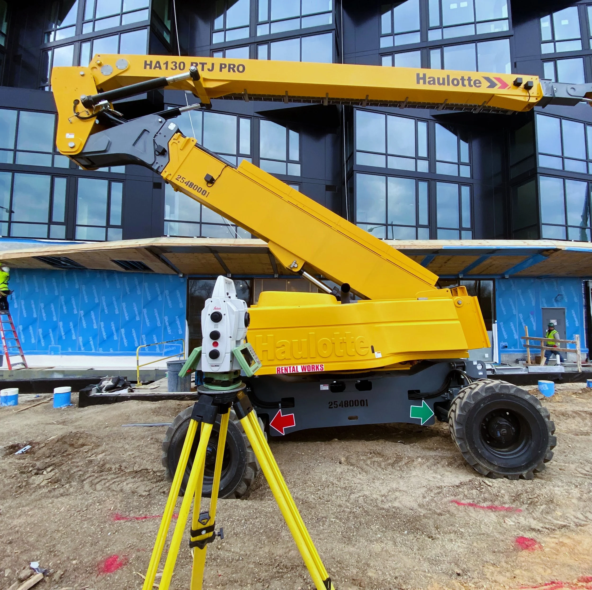


Follow and stay updated with all the project and behind-the-scenes fieldwork.

Connect with CEO,
Ismael Vázquez on LinkedIn

Connect with COO,
Nicole Rubio on LinkedIn